
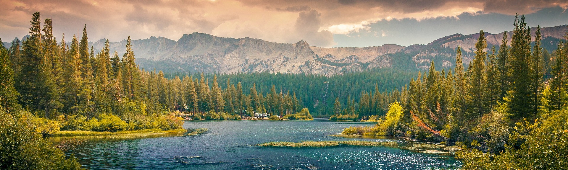
The Wine Country Gazette’s standing report on the water that runs the Russian River system: reservoir storage, river flows and what they mean. The report below regenerates every morning from state and federal data; the live gauge table refreshes several times a day. No generative AI writes any of it.
The two reservoirs that carry the Russian River watershed through the dry season set the terms for everything downstream — what matters is how fast they are falling, and where that leaves the river. Here are the numbers as of July 4, 2026.
Reservoirs
Lake Mendocino, behind Coyote Valley Dam, held 78,217 acre-feet of water as of July 4 — down 1,081 acre-feet from a week earlier, and 17% below its storage on the same date last year (94,493 acre-feet).
Lake Sonoma, behind Warm Springs Dam, held 255,137 acre-feet of water as of July 4 — down 1,418 acre-feet from a week earlier, and 1% above its storage on the same date last year (251,752 acre-feet).
Lake Mendocino stores winter flows from the upper Russian River and, in most years, water diverted from the Eel River through the Potter Valley Project. Lake Sonoma, roughly three times larger, is the backbone of Sonoma Water’s supply for more than 600,000 people from Windsor to Sausalito. Summer releases from both reservoirs are what keep the river flowing after the rains stop.
River flows
Russian River near Hopland was flowing at 90 cubic feet per second, compared with a daily average of 92 cfs ten days ago.
Russian River near Healdsburg was flowing at 110 cubic feet per second, compared with a daily average of 113 cfs ten days ago.
Russian River at Hacienda Bridge near Guerneville was flowing at 102 cubic feet per second, compared with a daily average of 113 cfs ten days ago.
Flows at Hopland reflect releases from Lake Mendocino plus whatever the upper river contributes; by Hacienda Bridge, the reading also folds in Dry Creek releases from Lake Sonoma. State orders set minimum flows the river must carry in each reach, which vary by how wet the year has been.
Why it matters
Cities from Ukiah to Healdsburg, hundreds of vineyards and the lower-river recreation economy all draw on the same system. When storage falls faster than normal, regulators can cut diversions, and towns that lean on the river feel it first. These daily numbers are the early warning.
Frequently asked questions
What is an acre-foot?
The volume that covers one acre a foot deep — about 326,000 gallons, roughly what two average California households use in a year.
Is this drought?
A single week of data can’t say. Watch the year-over-year comparison above: storage well below the same date last year, sustained over weeks, is the signal that matters.
Where do these numbers come from?
Reservoir storage is reported by the state’s California Data Exchange Center (stations COY and WRS); river flows are U.S. Geological Survey real-time gauges (sites 11462500, 11464000 and 11467000). All are public.
This report is generated automatically from California Department of Water Resources (CDEC) and U.S. Geological Survey gauge data and is reviewed by Wine Country Gazette staff before publication. No generative AI is used; every figure comes directly from the public record.
Live gauge readings
| Gauge | Flow | Stage | Reading time |
|---|---|---|---|
| RUSSIAN R NR UKIAH CA | Gauge offline — no data since Oct 1, 2022 | ||
| RUSSIAN R NR HEALDSBURG CA | 106 cfs | 1.18 ft | Jul 4, 5:45 pm |
| RUSSIAN R A HACIENDA BRIDGE NR GUERNEVILLE CA | 97 cfs | 1.12 ft | Jul 4, 5:15 pm |
Last checked July 4, 2026 6:09 pm.
Flows are in cubic feet per second; stage is gauge height in feet. Source: USGS National Water Information System.